
For this traveling exhibition and its accompanying publication, new aerial photographs have now been taken by the photographer and head of the publishing house VIA NOVA, Stanisław Klimek, for selected cities in Lower Silesia for which Hansa aerial photographs are available. These photographs show the historical motifs from a current perspective and allow a direct comparison of the historical with the current state.
For the touring exhibition and its accompanying publication, the photographer and head of the VIA NOVA publishing house, Stanisław Klimek, has produced new aerial photographs of selected cities in Lower Silesia for which Hansa aerial photographs are available. Klimek's images show the historical motifs from a present-day perspective, allowing a direct comparison of the historical views with the current lay of the land.
The project is a continuation of more than ten years of cooperation between the Herder Institute and the
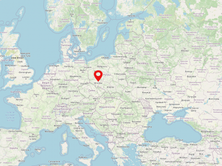
Wrocław (German: Breslau) is one of the largest cities in Poland (population in 2022: 674,079). It is located in the Lower Silesian Voivodeship in the southwest of the country.
Initially under Bohemian, Piast and at other times Hungarian rule, the Habsburgs took over the Silesian territories in 1526, including Wrocław. Another turning point in the city's history was the occupation of Wroclaw by Prussian troops in 1741 and the subsequent incorporation of a large part of Silesia into the Kingdom of Prussia.
The dramatic increase in population and the fast-growing industrialization led to the rapid urbanization of the suburbs and their incorporation, which was accompanied by the demolition of the city walls at the beginning of the 19th century. By 1840, Breslau had already grown into a large city with 100,000 inhabitants. At the end of the 19th century, the cityscape, which was often still influenced by the Middle Ages, changed into a large city in the Wilhelmine style. The highlight of the city's development before the First World War was the construction of the Exhibition Park as the new center of Wrocław's commercial future with the Centennial Hall from 1913, which has been a UNESCO World Heritage Site since 2006.
In the 1920s and 30s, 36 villages were incorporated and housing estates were built on the outskirts of the city. In order to meet the great housing shortage after the First World War, housing cooperatives were also commissioned to build housing estates.
Declared a fortress in 1944, Wrocław was almost completely destroyed during the subsequent fightings in the first half of 1945. Reconstruction of the now Polish city lasted until the 1960s.
Of the Jewish population of around 20,000, only 160 people found their way back to the city after the Second World War. Between 1945 and 1947, most of the city's remaining or returning - German - population was forced to emigrate and was replaced by people from the territory of the pre-war Polish state, including the territories lost to the Soviet Union.
After the political upheaval of 1989, Wrocław rose to new, impressive heights. The transformation process and its spatial consequences led to a rapid upswing in the city, supported by Poland's accession to the European Union in 2004. Today, Wrocław is one of the most prosperous cities in Poland.
Rafał Eysymontt (Wroclaw), a leading expert on the urban development of Silesia, played a central role in preparing both the exhibition and the publication, while the picture descriptions were provided by the art historian Sławomir Brzezicki (Wroclaw/Marburg). The historical dimension of the rich cultural landscape of Lower Silesia could hardly be presented more vividly and pithily.


