Warsaw – the last glance

German aerial photographs from the time before the Warsaw Uprising, in August 1944
The last view of old Warsaw: The aerial photographs presented in this traveling and online exhibition show the Polish capital before it was almost completely destroyed by German troops as a result of the Warsaw Uprising.
Both the virtual and the traveling exhibition focus primarily on the old center of 
Warszawa
deu. Warschau, eng. Warsaw, yid. Varše, yid. וואַרשע, rus. Варшава, rus. Varšava, fra. Varsovie

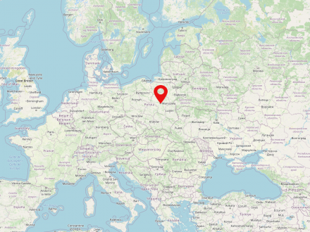
Warsaw is the capital of Poland and also the largest city in the country (population in 2025: 1,866,729). It is located in the Mazovian Voivodeship on Poland's longest river, the Vistula. Warsaw first became the capital of the Polish-Lithuanian noble republic at the end of the 16th century, replacing Krakow, which had previously been the Polish capital. During the partitions of Poland-Lithuania, Warsaw was occupied several times and finally became part of the Prussian province of South Prussia for eleven years. From 1807 to 1815 the city was the capital of the Duchy of Warsaw, a short-lived Napoleonic satellite state; in the annexation of the Kingdom of Poland under Russian suzerainty (the so-called Congress Poland). It was not until the establishment of the Second Polish Republic after the end of World War I that Warsaw was again the capital of an independent Polish state.

At the beginning of World War II, Warsaw was conquered and occupied by the Wehrmacht only after intense fighting and a siege lasting several weeks. Even then, a five-digit number of inhabitants were killed and parts of the city, known not least for its numerous baroque palaces and parks, were already severely damaged. In the course of the subsequent oppression, persecution and murder of the Polish and Jewish population, by far the largest Jewish ghetto under German occupation was established in the form of the Warsaw Ghetto, which served as a collection camp for several hundred thousand people from the city, the surrounding area and even occupied foreign countries, and was also the starting point for deportation to labor and extermination camps.

As a result of the Warsaw Ghetto Uprising from April 18, 1943 and its suppression in early May 1943, the ghetto area was systematically destroyed and its last inhabitants deported and murdered. This was followed in the summer of 1944 by the Warsaw Uprising against the German occupation, which lasted two months and resulted in the deaths of almost two hundred thousand Poles, and after its suppression the rest of Warsaw was also systematically destroyed by German units.

In the post-war period, many historic buildings and downtown areas, including the Warsaw Royal Castle and the Old Town, were rebuilt - a process that continues to this day.

, showing districts such as Wola, Praga, Żoliborz and Mokotów. All the pictures were taken just a few weeks before the outbreak of the Warsaw Uprising (August 1, 1944), probably in late June or early July 1944 during a reconnaissance flight by a Focke-Wulf FW 189 Eule aircraft. Good weather and a high level of technical proficiency resulted in exceptionally good photographs. The squares, streets and parks – full of people and vehicles – show a lively hustle and bustle under the summer sun. The architecture of particular districts, blocks, as well as individual buildings that are now lost can be seen in the last days of their existence. At the same time, the photographs show the extent of the losses that the Polish capital had already suffered during the German attack on Warsaw in 1939.
The aerial photographs come from the Foto Marburg image archive, which received the series of 110 photos from a private estate in 1983. This small collection of valuable image sources, previously unknown to researchers, was “rediscovered” during a study visit by Dr. Marek Baranski to the Herder Institute in Marburg in 2003. On his initiative and designed by him, a presentation was initially realized for the Polish public in the fall of 2004 in a cooperation between the Association of Polish Monument Conservators, the Historical Museum of the City of Warsaw, and the Foto Marburg image archive, sponsored by the Foundation for German-Polish Cooperation and the Polish Workshops for Monument Conservation (PKZ).
A German version of the exhibition was developed at the Herder Institute and opened in 2005. From the series of picture panels created in Poland, a few examples from eleven city districts and ensembles were selected and supplemented with explanatory panels featuring city maps, introductory texts, and additional illustrations. Parallel to the exhibition with the printed panels, a bilingual internet presentation was created in collaboration with Foto Marburg, which locates the entire collection of aerial photographs on a historical city map and makes it interactive (“sensitive map”), enriched with additional photos and texts.

Info section