

Brzeg is a city of 36,000 people in the Polish Opole Voivodeship. It is located in southwestern Poland on the Odra River. Brzeg is located between Wroclaw and Opole. The city was part of the German Empire until 1945.
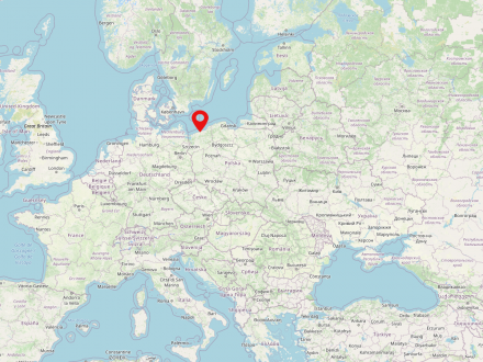
Kolobrzeg is a city on the Polish Baltic coast in the West Pomeranian Voivodeship (Polish: Zachodniopomorskie). About 46,000 people reside in the city. It is located in the northwest of the country and is an important place for tourism, port and fishing industry. The city is located about 145 km northeast of Szczecin.


Drohobych is a city (population 2021: 73,682) in the far west of Ukraine, in the Lviv oblast. Lviv (Lviv) lies to the north of Drohobych. The city belonged to the Kingdom of Poland for several centuries and was once an important place for Judaism in Galicia. In the interwar period, Drohobycz was the center of the Polish oil industry which was one of the leading oil producers in Europe in the 1920s.
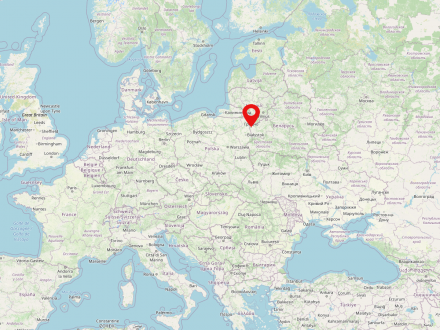
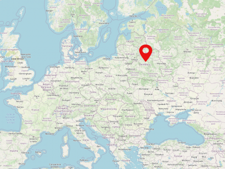
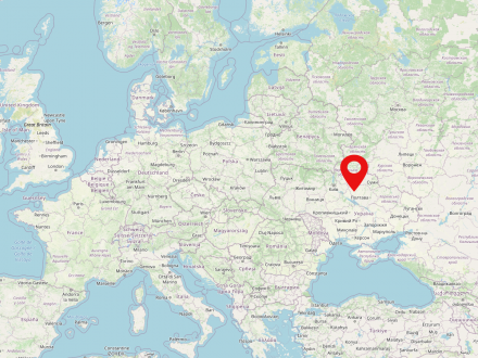
Hrodna is a large city in the west of Belarus. It is inhabited by 370,000 people and is located directly on the border with Poland. It is on the Memel River and is considered the administrative seat of the Woblasz Hrodna. Since 1991 the city belongs to Belarus and is still characterized by a large Polish-speaking minority. Before the Second World War, many Poles and Jews lived in the city.
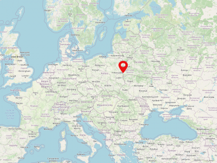
Brest is a large city in the southwest of Belarus. The city is located directly on the border with Poland on the river Bug. The city belonged to Poland for a long time and nowadays it is the capital of Brest Voblasts.
- What is the relationship between discourses on the reconstruction and development of cities in cartographic sources on the one hand and in textual sources on the other?
- Which actors (map authors and text authors) shape these discourses, and which approaches succeed?
- How did the relationship between the National Socialist urban reconstruction and rebuilding projects from 1941 on and the socialist city administration after 1945 develop? How did this change and influence the objectives of reconstruction and the local appropriation of historic buildings and structures?
- In what way did the actors argue about what was to be considered a “loss” or a “gain” or even as “progress” with regard to the effects of the Second World War?

Poland is a state in Central Eastern Europe and is home to approximately 38 million people. The country is the sixth largest member state of the European Union. The capital and biggest city of Poland is Warsaw. Poland is made up of 16 voivodships. The largest river in the country is the Vistula (Polish: Wisła).
Belarus is a state in eastern Europe inhabited by about 9.5 million people. The capital and most populous city of the country is Minsk. After the disintegration of the Soviet Union in 1991, the state is independent. Belarus borders Ukraine, Poland, Lithuania, Latvia and Russia.
Ukraine is a country in eastern Europe inhabited by about 42 million people. Kiev is the capital and also the greatest city of Ukraine. The country has been independent since 1991. The Dnieper River is the longest river in Ukraine.


