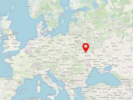
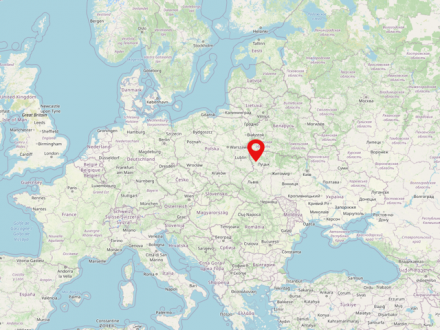
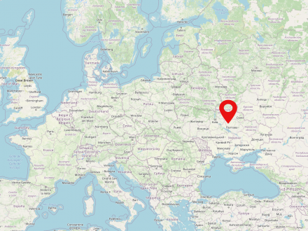
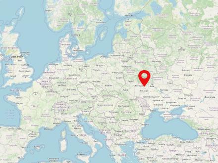
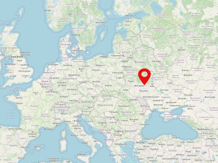
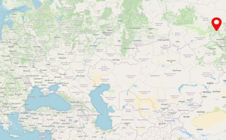
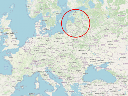
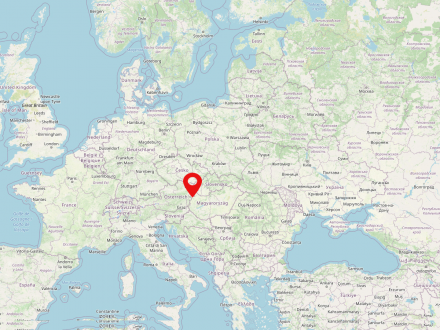
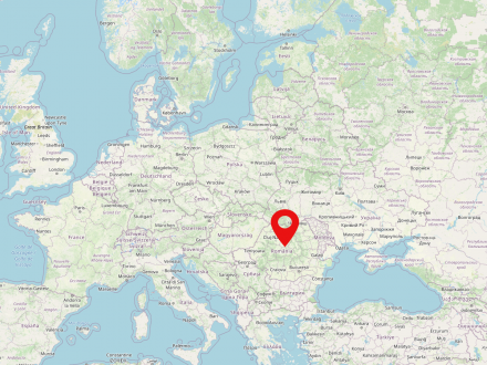
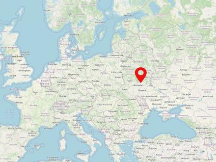
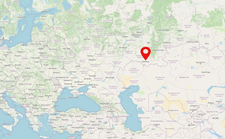
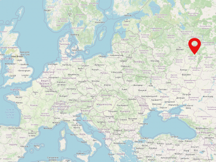
Bubny is a village in today's Ukraine and is located about 80 km west of Zhytomyr.
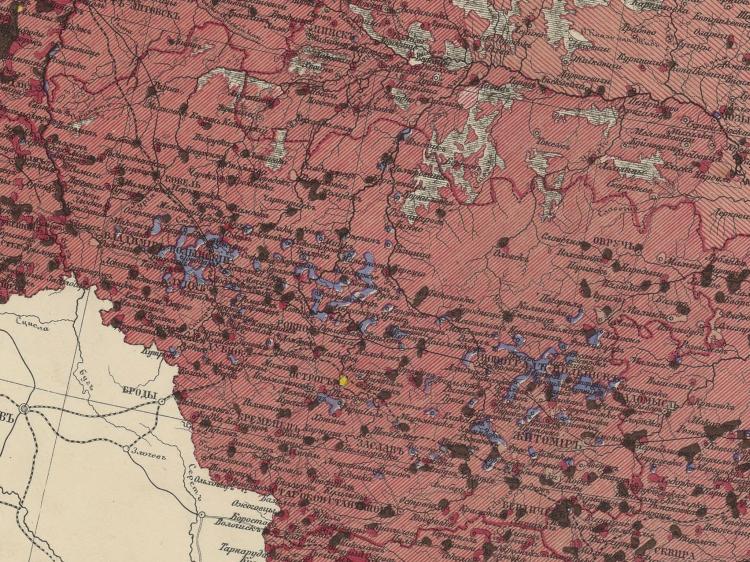
The historical landscape of Volhynia is located in northwestern Ukraine on the border with Poland and Belarus. Already in the late Middle Ages the region fell to the Grand Duchy of Lithuania and from 1569 on belonged to the united Polish-Lithuanian noble republic for more than two centuries. After the partitions of Poland-Lithuania at the end of the 18th century, the region came under the Russian Empire and became the name of the Volhynia Governorate, which lasted until the early 20th century. The Russian period also saw the immigration of German-speaking population (the so-called Volhyniendeutsche), which peaked in the second half of the 19th century. After the First World War Volhynia was divided between Poland and the Ukrainian Soviet Republic, from 1939, as a result of the Hitler-Stalin Pact, completely Soviet and already in 1941 occupied by the Wehrmacht. Under German occupation there was systematic persecution and murder of the Jewish population as well as other parts of the population.
After World War II, Volhynia again belonged to the Ukrainian Soviet Socialist Republic and since 1992 to Ukraine. The landscape gives its name to the present-day Ukrainian oblast with its capital Luzk (ukr. Луцьк), which is not exactly congruent.
Ukraine is a country in eastern Europe inhabited by about 42 million people. Kiev is the capital and also the greatest city of Ukraine. The country has been independent since 1991. The Dnieper River is the longest river in Ukraine.
The terms Central Poland or Central Poland (Polish: Polska Centralna/Polska Środkowa) do not designate a historical landscape in the narrower sense and in Polish usage mostly refer to the geographical center of Poland. In German usage, on the other hand, since the 1930s the term Central Poland refers predominantly to the territory of the former Kingdom of Poland (the so-called Congress Poland), which existed under Russian suzerainty from 1815 to 1918.
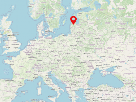
Courland is a historical landscape in the west of Latvia. Courland is situated on the Baltic Sea and borders two other Latvian regions - Livonia and Semgalia - and Lithuania to the south. The major cities of Courland include Jelgava, Ventspils and Liepaja.
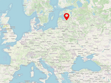
Latvia is a Baltic state in the north-east of Europe and is home to about 1.9 million inhabitants. The capital of the country is Riga. The state borders in the west on the Baltic Sea and on the states of Lithuania, Estonia, Russia and Belarus. Latvia has been a member of the EU since 01.05.2004 and only became independent in the 19th century.
The Russian Empire (also Russian Empire or Empire of Russia) was a state that existed from 1721 to 1917 in Eastern Europe, Central Asia and North America. The country was the largest contiguous empire in modern history in the mid-19th century. It was dissolved after the February Revolution in 1917. The state was regarded as autocratically ruled and was inhabited by about 181 million people.
The city of Saratov dates back to a fortress founded in 1590. It flourished as a trading city in the 19th century. From the 18th century and until the deportations during the World War II period, Volga Germans made up a large segment of Saratov's population. In 1915, moreover, numerous Germans, Jews, Hungarians, Austrians, and other groups from areas near the front were deported to Saratov because they were considered a potential threat to the war effort in their original places of residence.
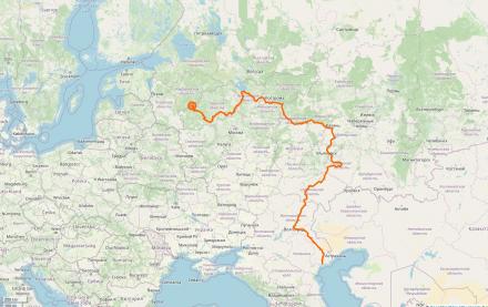
The Volga River originates about 300 km northeast of Moscow in the Waldai Heights, a plateau in the European part of Russia. It is 3530 km long. At Astrakhan, the Volga fans out into the various arms of the Volga Delta and finally flows into the Caspian Sea.
Kazakhstan today is a landlocked Central Asian country located between Russia, China, Kyrgyzstan, Uzbekistan and Turkmenistan. In the past, the region was ruled by various steppe peoples until the Kazakhs subordinated themselves to the Russian Tsarist Empire in several steps between 1731 and 1742. From 1936, Kazakhstan was part of the Soviet Union as the Kazakh SSR; since its disintegration in 1991, Kazakhstan has been independent.
Hegewald was a German settlement area at the time of National Socialism, about 2 km south of Zhytomyr. After the expulsion of 15,000 Ukrainians, 27 settlements on the territory were settled with so-called "Volksdeutsche" (National Germans) in 1942.
The city of Zhytomyr is located on the Teteriv River, a tributary of the Dnieper River, in present-day Ukraine. It was probably founded in the 7th century and elevated to a city in the 9th century. Over the centuries, Zhytomyr belonged to the Grand Duchy of Lithuania, the united Kingdom of Poland-Lithuania, and the Russian Empire. During the World War II, from 1941 to 1944, Zhytomyr was part of the German "Reichskommissariat Ukraine".
Today, Zhytomyr is a large city in Ukraine which had about 270,000 inhabitants in 2018. During the Russian-Ukrainian war, Zhytomyr has been bombed.
Due to the war in Ukraine, it is possible that this information is no longer up to date.
The city of Tomsk is located in Siberia on the right bank of the Tom River. It was founded in 1604 as a fortress, although its military importance declined after about a hundred years, while the economic importance of the city increased visibly. In addition, Tomsk became an educational center of Siberia with several institutions of higher learning, most notably the first Siberian university founded in 1880. However, with the construction of the Trans-Siberian Railway further south, Tomsk gradually lost its importance around 1900.


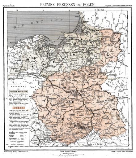
Congress Poland is the name given to the Kingdom of Poland, which was under Russian suzerainty from 1815 to 1916. After the three partitions and the final dissolution of the old noble Republic of Poland-Lithuania (1772, 1793, 1795), no Polish state had existed until the Napoleonic satellite state of the Duchy of Warsaw was established in 1807-1815. During the Congress of Vienna (1815) a Polish kingdom was reestablished. However, the Polish king was the Russian tsar and emperor in personal union.
Subsequently, there were several unsuccessful uprisings of the Polish population and elite against the Russian overlordship (e.g. November Uprising 1830/1831, January Uprising 1863/1864), which, however, only led to increasing repression, massive waves of emigration and flight (Great Emigration/Wielka Emigracja) and finally to the also administrative incorporation into the Russian state.
The picture shows a map from a school atlas published in Brunswick in 1871. Highlighted are the Prussian province of Prussia and (pale red) Congress Poland (CC 1.0).
The Kiev Governorate was an administrative unit in the Russian Empire, on the territory of present-day Ukraine. It was dissolved in 1925 in the course of territorial reforms following the establishment of the Ukrainian Soviet Republic.
The Minsk Governorate was an administrative unit in the west of the Russian Empire. The governorate existed - with minor territorial changes - until 1921, lastly as part of the Belarusian Soviet Socialist Republic founded in 1919.


The Baltic States is a region in the north-east of Europe and is composed of the three states Estonia, Latvia and Lithuania. The Baltic States are inhabited by almost 6 million people.
Siberia covers an area of 12.8 million square kilometers between the Urals, the Pacific Ocean, the North Polar Sea, China and Mongolia.The Russian conquest of Siberia began in 1581/82. At the time of the Enlightenment mainly a source of raw materials and space for trade with Asia, Siberia gained importance from the 19th century as a place for penal colonies and exiles. With the development of the Trans-Siberian Railway and steam navigation at the end of the 19th century, industrialization and thus new settlers came to Siberia. Further industrialization under Stalin was implemented primarily with the labor of Gulag prisoners and prisoners of war.
The map shows North Asia, centrally located Siberia. CIA World Factbook, edited by Veliath (2006) and Ulamm (2008). CC0 1.0.
Austria-Hungary (Hungarian: Osztrák-Magyar Monarchia), also known as Imperial and Royal Hungary Monarchy, was a historical state in Central and Southeastern Europe that existed from 1867 to 1918.
Romania is a country in southeastern Europe with a population of almost 20 million people. The capital of the country is Bucharest. The state is situated directly on the Black Sea, the Carpathian Mountains and borders Bulgaria, Serbia, Hungary, Ukraine and Moldova. Romania was established in 1859 from the merger of Moldova and Wallachia. Romania is home to Transylvania, the central region for the German minority there.


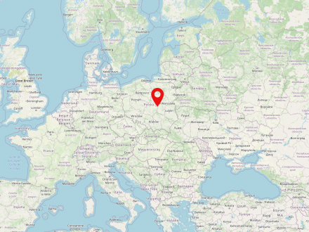
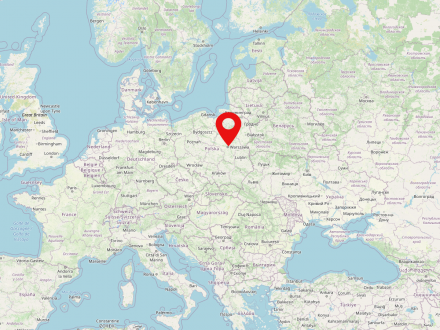
Today Augustówek is located in the Warsaw city area.
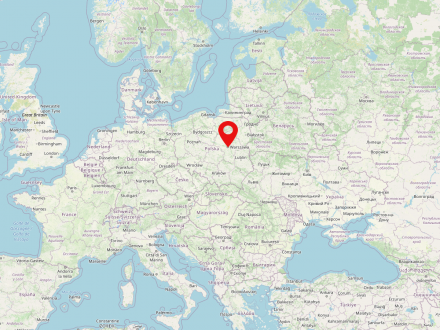
Warsaw is the capital of Poland and also the largest city in the country (population in 2022: 1,861,975). It is located in the Mazovian Voivodeship on Poland's longest river, the Vistula. Warsaw first became the capital of the Polish-Lithuanian noble republic at the end of the 16th century, replacing Krakow, which had previously been the Polish capital. During the partitions of Poland-Lithuania, Warsaw was occupied several times and finally became part of the Prussian province of South Prussia for eleven years. From 1807 to 1815 the city was the capital of the Duchy of Warsaw, a short-lived Napoleonic satellite state; in the annexation of the Kingdom of Poland under Russian suzerainty (the so-called Congress Poland). It was not until the establishment of the Second Polish Republic after the end of World War I that Warsaw was again the capital of an independent Polish state.
At the beginning of World War II, Warsaw was conquered and occupied by the Wehrmacht only after intense fighting and a siege lasting several weeks. Even then, a five-digit number of inhabitants were killed and parts of the city, known not least for its numerous baroque palaces and parks, were already severely damaged. In the course of the subsequent oppression, persecution and murder of the Polish and Jewish population, by far the largest Jewish ghetto under German occupation was established in the form of the Warsaw Ghetto, which served as a collection camp for several hundred thousand people from the city, the surrounding area and even occupied foreign countries, and was also the starting point for deportation to labor and extermination camps.
As a result of the Warsaw Ghetto Uprising from April 18, 1943 and its suppression in early May 1943, the ghetto area was systematically destroyed and its last inhabitants deported and murdered. This was followed in the summer of 1944 by the Warsaw Uprising against the German occupation, which lasted two months and resulted in the deaths of almost two hundred thousand Poles, and after its suppression the rest of Warsaw was also systematically destroyed by German units.
In the post-war period, many historic buildings and downtown areas, including the Warsaw Royal Castle and the Old Town, were rebuilt - a process that continues to this day.


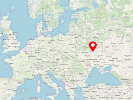
Kiev is located on the Dnieper River and has been the capital of Ukraine since 1991. According to the oldest Russian chronicle, the Nestor Chronicle, Kiev was first mentioned in 862. It was the main settlement of Kievan Rus' until 1362, when it fell to the Grand Duchy of Lithuania, becoming part of the Polish-Lithuanian noble republic in 1569. In 1667, after the uprising under Cossack leader Bogdan Chmel'nyc'kyj and the ensuing Polish-Russian War, Kiev became part of Russia. In 1917 Kiev became the capital of the Ukrainian People's Republic, in 1918 of the Ukrainian National Republic, and in 1934 of the Ukrainian Soviet Socialist Republic.
Kiev was also called the "Mother of all Russian Cities", "Jerusalem of the East", "Capital of the Golden Domes" and "Heart of Ukraine".
Kiev is heavily contested in the Russian-Ukrainian war.
Due to the war in Ukraine, it is possible that this information is no longer up to date.
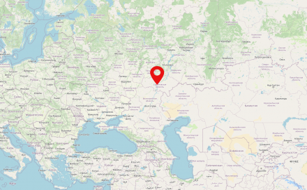
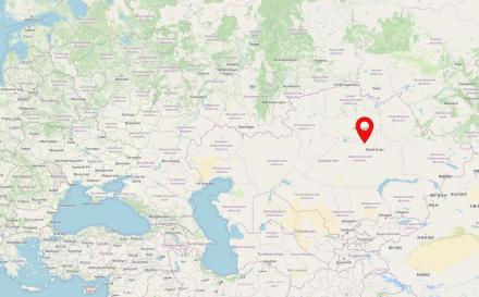
The city of Orenburg is located 1230 km southeast of Moscow on the border between Europe and Asia and is the capital of the oblast Orenburg. From 1920 to 1925, its territory belonged to the Kyrgyz/ Kazakh Autonomous Soviet Socialist Republic, a predecessor state of today's Kazakhstan.
The Ural Mountains extend more than 2,500 kilometers in a north-south direction between the East European and Siberian land plains. It has been defined as the border between Europe and Asia since the 18th century.
The map shows North Asia, the Ural Mountains are highlighted. CIA World Factbook, edited by Veliath (2006), Ulamm (2008) and Copernico (2022). CC0 1.0.


The Soviet Union (SU or USSR, Russian: Союз Советских Социалистических Республик, СССР) was a state in Eastern Europe, Central and Northern Asia existing from 1922 to 1991. The USSR was inhabited by about 290 million people and formed the largest territorial state in the world, with about 22.5 million square km. The Soviet Union was a socialist soviet republic with a one-party system.
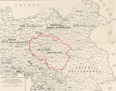
The Reichsgau Wartheland, also known as Warthegau, was a Nazi administrative district in occupied Poland that existed from 1939 to 1945. The Reichsgau was in large parts congruent with the historical landscape of Wielkopolska and had 4.5 million inhabitants. The capital was today's Poznań.
The almost six-year occupation period was characterized by the brutal persecution and murder of the Polish and Jewish population on the one hand and the targeted resettlement of German-speaking parts of the population on the other.
Image: „Map of the administrative division of the German Eastern Territories and the General Government of the occupied Polish territories as of March 1940“. Herder Institute for Historical Research on East Central Europe – Institute of the Leibniz Association, map collection, inventory no. K 32 II L 43, edited by Copernico (2022). CC0 1.0.


